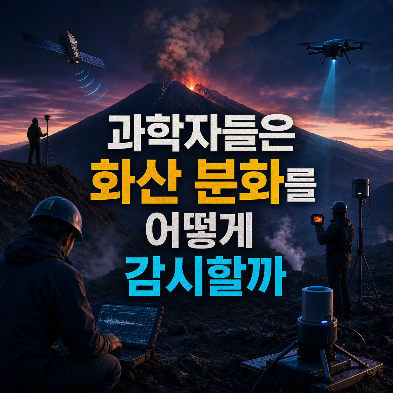
No single signal predicts an eruption; scientists layer seismic, deformation, gas, thermal, satellite, and geologic data instead, and here's how each method works.
You can't tell when a volcano will erupt from a single seismometer reading or one satellite image. Volcanologists watch several very different kinds of signals at once, from seismic activity and ground deformation to gas emissions, heat, satellite and visual observation, and even ancient geologic deposits, before drawing any conclusion. It's a common misconception that a clear precursor signal means an eruption is certain, but each individual signal can be pushed around by weather, hydrothermal activity, or plain instrument error, so no single dataset is treated as decisive on its own.
This list arranges ten methods actually used in volcano monitoring, starting with seismic instruments that capture magma movement most directly, moving through ground-deformation, gas, and thermal signals, then satellite and visual observation, and ending with the geologic record and the alert systems that combine everything into a single judgment. Ordering runs from the most direct underground signal toward the most indirect and longest-term data. Each entry explains what the method measures, what kind of warning sign it can offer, and why that signal alone can't fix whether or when an eruption will happen.
Selection criteria
- Is it a method actually used in the field by volcano observatories and researchers
- Does it measure something clearly distinct from the other entries
- Can its limits and uncertainty be explained honestly
- Is the order arranged from the most direct underground signal to the most integrated decision system
Volcanic seismometers

GNSS satellite positioning

Tiltmeters

Satellite InSAR

Volcanic gas analysis

Thermal imaging cameras

Volcano webcams

Ash radar and satellites

Geologic surveys of past deposits

Alert levels and hazard maps

Why no single signal is enough
Seismometers, GNSS, and tiltmeters measure underground pressure and ground movement directly, while InSAR, gas analysis, and thermal imaging track wide-area or chemical changes remotely, and webcams and ash radar follow what's visible at the surface or spreading through the atmosphere. On top of that, the geologic record supplies long-term recurrence patterns, and alert systems fold all of it into decisions about access control and evacuation.
No single method on its own can confirm whether or exactly when an eruption will happen; monitoring agencies weigh these signals together and assess risk probabilistically. This is general science background as of the time of research, and any actual eruption warning or evacuation order should always come from the official announcements of national geological and disaster agencies.
Frequently asked questions
Does a rise in earthquakes mean an eruption is coming soon?
Not necessarily. An increase in volcanic earthquakes can signal magma or fluid movement, but it often fades without leading to an eruption. Reliable interpretation requires comparing waveforms across multiple stations alongside other signals.
Are volcano alert levels the same standard everywhere?
No. Alert-level names and criteria differ by country and agency, so comparing numbers or colors directly across countries isn't a reliable way to gauge risk. Follow the announcements from the monitoring agency covering the area you're visiting or living in.
What should I check before traveling near an active volcano?
Check the latest Smithsonian/USGS weekly report or the local monitoring agency's current alerts and access restrictions before you go. Hazard maps aren't precise predictions of the future; they show a plausible range, so read them alongside the most current official notices.
If satellite InSAR can see a volcano, do other instruments even matter?
Yes, they still matter. InSAR can map ground deformation over a wide area through cloud cover and at night, but revisit intervals, vegetation, and terrain introduce errors, so it's cross-checked with ground-based GNSS and tiltmeters. The color bands in an InSAR image also shouldn't be mistaken for actual elevation or temperature.
If volcanic gas readings are low, does that mean it's safe?
No. Readings of gases like sulfur dioxide only mean something when ground instruments, drones, and satellite data are compared together with wind conditions, and a temporarily low reading doesn't mean the risk from the magma or hydrothermal system below has passed.
Can past eruption records tell us exactly when the next eruption will happen?
No. Geologic surveys of old lava, ash, and pyroclastic flow deposits reconstruct how often a volcano has erupted and how far its effects reached, but an average recurrence interval is a statistical tendency, not a precise date for the next eruption.
Get new lists before anyone else
Once a week — only the new lists worth your time.
No spam · unsubscribe in one click
You may also like

Long Before Flight — Ten Fossil Clues That Link Dinosaurs to Birds
From feathers and the wishbone to brooding posture, ten pieces of fossil evidence traced in the order they appeared on the path to modern birds.

Ten Fossils That Made Paleontologists Rewrite the Dinosaur Textbook
From gray reptile to feathered, social, possibly semi-aquatic animal: ten fossil finds that forced scientists to redraw dinosaurs, and what each one actually proved.

Dinosaur Play Turns Into Science the Moment You Ask 'What Do You Think Happens?'
Ten at-home dinosaur science activities ranked by age fit and how many materials you need, built around predicting, observing, and explaining.

What the Fossils Actually Prove: 10 Dinosaur Nests and the Case for Parental Care
Nesting posture, egg arrangement, and eggshell pores separate what fossils confirm from what remains inference about dinosaur parenting.