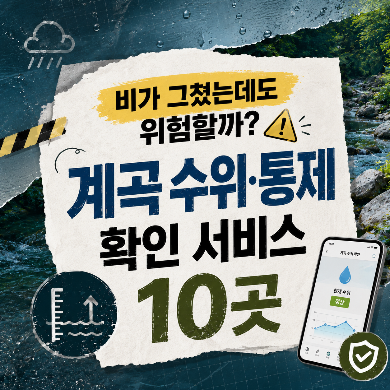
Before heading to a valley, check official water-level and closure information rather than photos or reviews, and always put on-site controls first.
The most confusing part of planning a valley trip is knowing where to look first. Even after the rain stops, a valley's water level and current can keep changing with a delay, so clear skies alone tell you nothing about safety. This list groups 10 official sources for rainfall, water-level, and closure information by watershed and function.
The order runs from what to open first: advisories, then the flood control office for your river basin (Han, Nakdong, Geum, or Yeongsan), followed by park closures, landslide data, disaster guidance, and dam releases. Pick the entries that match the region you are visiting.
Online information is only a reference. If on-site signs or safety staff say otherwise, always follow the on-site controls. Nothing in this list should be treated as grounds for deciding that a spot is safe enough to enter. In an emergency, call 119 immediately.
기상청 날씨누리 호우특보

한강홍수통제소 하천수위정보

낙동강홍수통제소

금강홍수통제소

영산강홍수통제소

국립공원공단 탐방통제정보

산림청 산사태정보시스템

생활안전지도 재난정보

국민재난안전포털 계곡 재난정보

한국수자원공사 댐 정보

How to check
Start with the Meteorological Administration advisories at No. 1 to see the rain outlook, then find the flood control office for your river basin (No. 2 to 5) and watch how levels are trending. For a national park, go to No. 6; for a valley close to steep slopes, No. 7; for a map view, No. 8; and for response steps worth reading ahead of time, No. 9. If you are heading below a dam, do not skip the release information at No. 10.
Whichever source you use, look twice, once before leaving and once just before arriving, and remember that on-site controls and safety staff always come before online information. Call 119 in an emergency. Information reflects the time of research and may change, so confirm through official channels before you go.
Frequently asked questions
Can a valley still be dangerous after the rain has stopped?
Yes. Rain that fell upstream can reach a valley downstream with a delay, so water level and current can rise suddenly even under clear skies. Check both upstream rainfall and official closure information before visiting.
What if online information conflicts with what I see on site?
Follow on-site signage, barriers, and safety staff instructions first. Online information can lag behind real conditions, so do not push forward if what you see on site says otherwise.
What should I prepare if I'm with children or weak swimmers?
Make sure they wear a properly fitted, certified flotation vest, and stay within arm's reach as a guardian. Avoid entering barefoot, visiting at night, or swimming after drinking.
Where can I check a valley's water level?
Use the flood control office for the river basin your destination belongs to: Han, Nakdong, Geum, or Yeongsan. Check the Meteorological Administration advisories first, and for places below a dam, add K-water's release information.
What should I do if someone falls into the water?
Call 119 immediately and ask people nearby for help. Do not jump in yourself, since rescuers can be endangered too; leaving rescue to trained personnel is the rule.
What are the signs that the water is rising suddenly?
If the water turns muddy, the sound of the stream changes, or more debris floats down, get out of the water at once and move to higher ground. Do not delay to gather belongings, and call 119 in an emergency.
Get new lists before anyone else
Once a week — only the new lists worth your time.
No spam · unsubscribe in one click
You may also like
Sudden Braking Can Be the Real Danger — Earthquake Response by Mode of Travel
When an earthquake hits while you're in transit, easing off gradually while driving and holding on for crew guidance on transit are the key moves.
Earthquake News Terms: Why 'Magnitude' Alone Doesn't Tell You the Damage
From magnitude and intensity to aftershocks, liquefaction, and tsunamis — ten official terms for reading earthquake news accurately.

During the Shaking vs. After It Stops — An Indoor Earthquake Guide by Location
From home to school to elevators to hospitals, ten indoor locations with separate guidance for while it's shaking and once it stops.