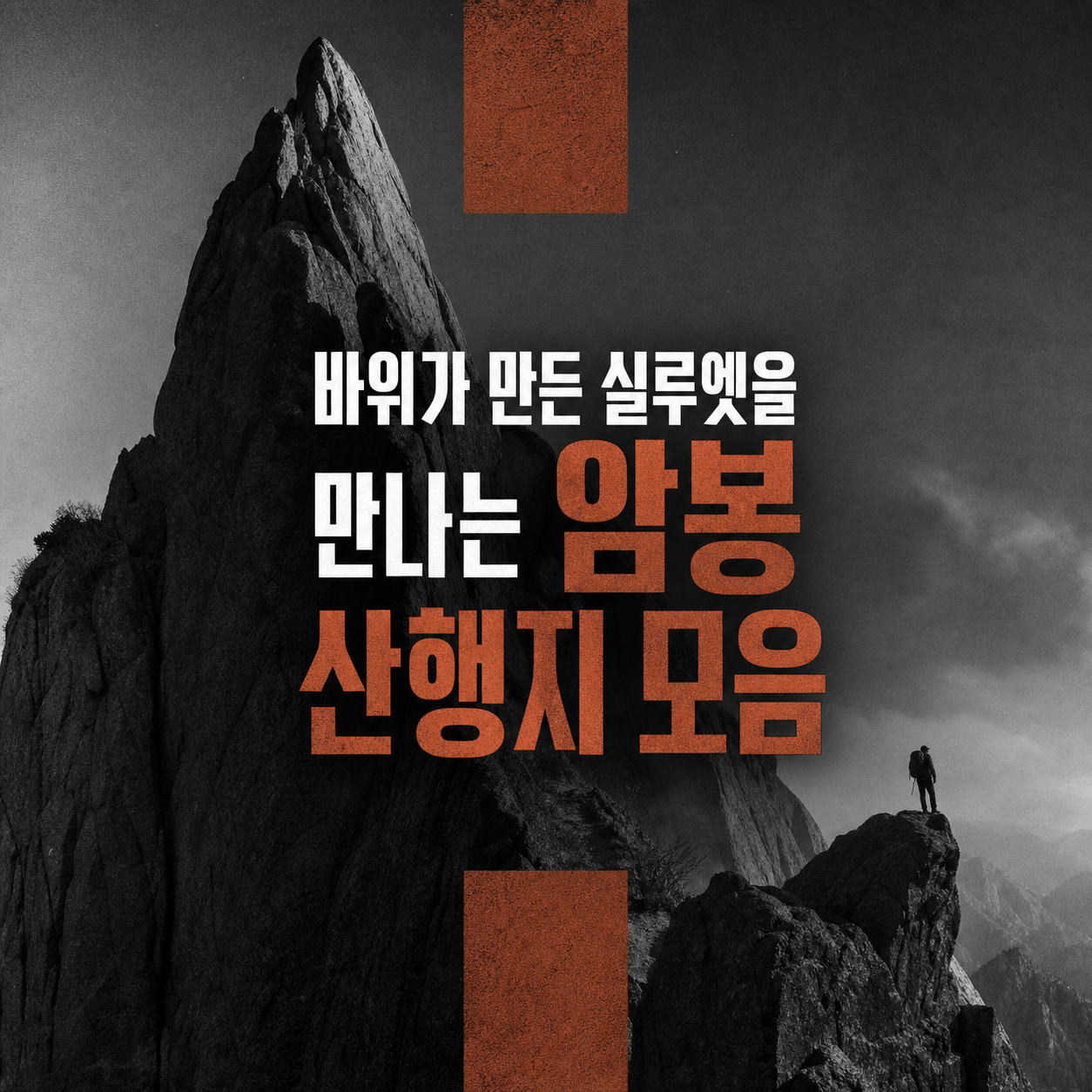
For rock peak hikes, judge by the rock surface and crowded sections rather than summit height; here are 10 Korean peaks with hazard points and timing.
The safest way to choose a rock peak hike is to look at the rock surface and how crowded the hands-on sections get, not at elevation. Many people check difficulty ratings and altitude first, but real accidents come from slipping on wet granite, losing balance while rushing through a bottleneck, or stepping on stones hidden under leaves. This list covers ten of Korea's signature rock peaks with their terrain, the spots that cause trouble, and the busiest hours.
The order reflects ease of access, how reliable the information is, and how well you can anticipate hazards section by section, not scenic drama. If you are new to rock ridges, start with Seoul-area routes like Dobongsan, Suraksan, and Bulamsan, and save traverses and long ridges for later. If you get lost or hurt in the mountains, call 119 and report your location first.
How we chose
- Rock type and how slippery it gets when wet
- Hands-on sections and likelihood of jams
- How often the trail closes
- Whether there is a way off midway
Wolchulsan: Sanseongdae to Gwangamteo Junction

Daedunsan: Macheondae

Dobongsan: Sinseondae

Suraksan: Main Peak

Bulamsan: Summit

Palyeongsan: Eight-Peak Traverse

Maisan: Ammabong Peak

Juheulsan: Main Peak

Cheongwansan: Yeondaebong

Dalmasan: Dosoram Ridge

How to choose
If rock ridges are new to you, build your feel on #3 Dobongsan, #4 Suraksan, and #5 Bulamsan, which are easy to reach. If you want views and a challenge, look at #1 Wolchulsan or #2 Daedunsan, but check weather and ice first. #6 Palyeongsan and #10 Dalmasan are hard to leave midway and suit experienced hikers, and for #7 Maisan, confirm whether it is open before anything else.
When comparing, weigh four things: rock surface, jam points, closure frequency, and escape routes. In an emergency, call 119 and give your location. The information here is accurate as of research and may change, so confirm openings through official channels before you go.
Frequently asked questions
Is rock-peak hiking dangerous mainly because of the height?
Surface condition and focus on hands-on sections matter more than elevation. Slipping on wet rock or failing to dodge rockfall is the real risk. Do not relax on a lower peak; check trail notices and same-day weather first.
What should I bring for a rock peak hike?
Grippy hiking boots, plenty of water, and a phone with your location saved offline are the basics. Set a start and return time, tell someone, and leave a buffer to be down before sunset. Fitness does not make up for poor time management.
How should I decide if the weather turns bad?
Avoid ridge approaches in strong wind or rain. Heavy fog or lightning risk is a reason to cancel or shorten the plan. If a closure is announced, find an alternate route or reschedule.
What should I do if I get hurt or lost on a mountain?
Call 119 first and give your location. Trail marker numbers, a national point number, or your phone's location help rescuers find you. If you cannot move, stay somewhere safe and keep warm while you wait.
Which route is best for a rock ridge beginner?
Start with the accessible Seoul-area routes in this list: Dobongsan Sinseondae, Suraksan Main Peak, or Bulamsan Summit. Routes with hard-to-exit ridges, such as the Palyeongsan traverse or Dalmasan ridge, are better after you have experience.
Where do I check for trail closures?
Check trail notices from official channels such as national park or local government sites before you leave. Maisan Ammabong and Palyeongsan are known to close depending on season or weather, so confirm in advance. Never enter during a closure.
Get new lists before anyone else
Once a week — only the new lists worth your time.
No spam · unsubscribe in one click
You may also like
Summer Trekking: Pick Your Turnaround Point Before the Summit
Ten gentle summer trekking courses in Korea where you can match your slowest companion's pace and turn back easily, with distances and return tips.
Jeju Oreum: It's About How Deep You Look, Not How Many You Climb
Jeju oreum hikes reward slow looks at crater depth and slope direction more than summit counts, and these ten routes are ranked for that.

Ten Autumn Silver Grass Ridges Worth More Than the Summit
Safe silver grass hiking starts with checking trail access, weather, and descent routes, well before difficulty ratings.